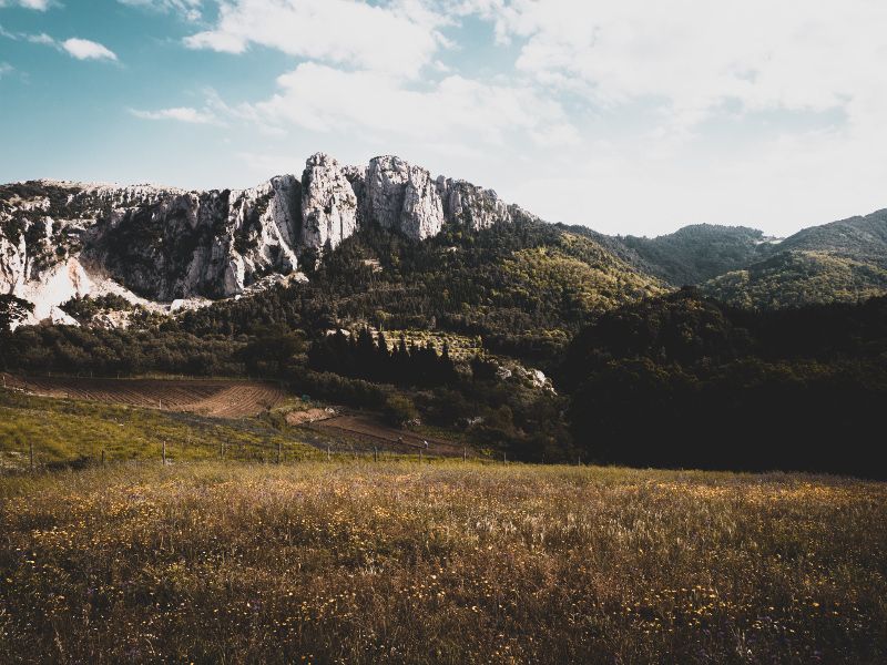
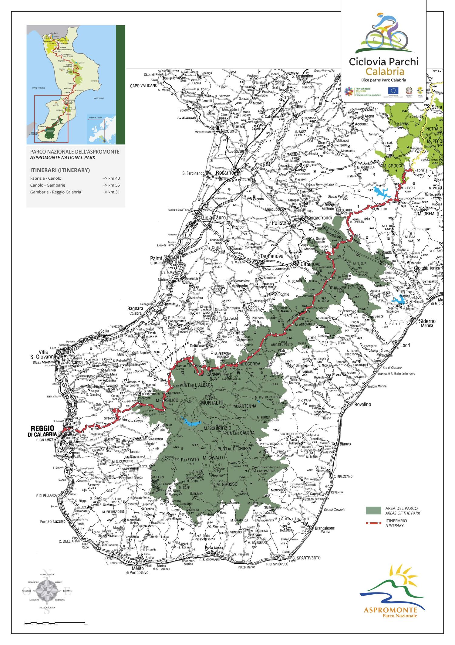
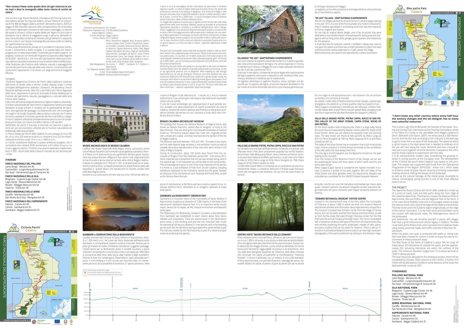
The Apennine Route (Cycle Path of the Parks of Calabria) is composed of the combination of roads, tracks, and bike paths arranged along the main ridge of the Calabrian Apennines. The itinerary, which traverses the National Parks of Aspromonte, Sila, and Pollino, as well as the Regional Park of Serre, represents the main route of Active Mobility for the enjoyment of the natural, scenic, and cultural heritage of the inland areas of Calabria. The route longitudinally crosses the Calabria region, effectively positioning itself on the backbone of the internal reliefs and represents the main artery through which to come into contact with the uniqueness of the landscapes, the diversity of the scenery, and biodiversity, as well as immersing oneself in the places and villages of great historical and cultural value that our territory preserves. Starting from the Pollino Park, the route connects the 4 Calabrian Parks using mainly provincial road routes, with traffic volumes of less than 50 vehicles/hour. Within the parks, the route connects with internal paths or tracks for hiking use, used for the naturalistic and environmental enjoyment of protected areas. The Cycle Path of the Parks of Calabria has a development of approximately 545 km, of which about 323 are outside the parks, and the remaining approximately 222 km are internal. The minimum elevation ranges from 19 meters above sea level to 1690 meters above sea level. The total resources allocated to this ambitious project, which will be completed by October 2020, amount to 9.5 million euros, to which an additional 10 million euros will be added to transform, by 2021, some sections of the cycle path into tracks for the exclusive use of cyclists.